NAVIGation and maps

NAVIGAtion
Navigation is absolutely key for a competitor and he should pay great attention to its selection. There are two reasons for this: 1) only the navigation shows the competitor the correct path, 2) the navigation records the completed route and the data from the navigation serves as proof of completion of the entire race.
We highly recommend that the competitor has their navigation well tested:
- he could control her without any problems,
- knew how long it would last on a charge,
- was able to orient himself according to the navigation while riding a bicycle in the terrain,
- knew how navigation behaves in rain and winter,
- was able to upload a GPX file with a route to the navigation.
It should also be emphasized that navigation is not the same as a cycle computer, even though both devices share a number of functionalities. Outdoor navigation stands out for their robustness and battery life, and the better ones also have cycling functions. Cycle computers deal mainly with monitoring the activities of cyclists and have map navigation as an add-on.
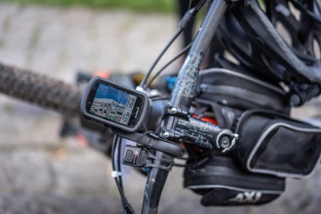
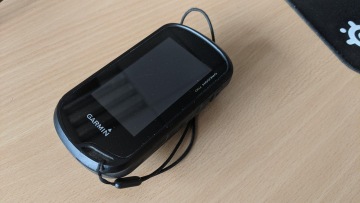
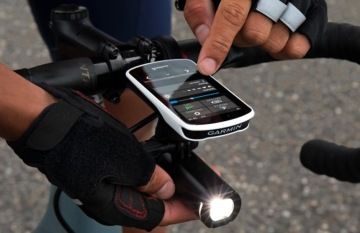
Navigation and cycling computers from Garmin, series:
- eTrex
- Oregon
- Edge 830, 1030
Below we offer ratings of each type from the racers themselves.
MAPs
The racer must not forget that he needs to have a high-quality map loaded in the navigation. Common navigation usually contains a basic map of the Czech Republic or Europe, which is unsuitable for Miles (detail missing). A detailed map for the Czech Republic is required: TOPO Czech PRO and for the Slovak Republic: Slovakia TOPO. These maps correspond in detail to ordinary tourist maps and provide the rider with a sufficient overview of the route. Some Garmin navigation systems can be purchased with a TOPO map already installed.
OpenStreet maps that can be downloaded from the Internet can also be uploaded to Garmin navigation. There are a number of versions, with varying degrees of detail. We recommend trying these maps beforehand.

GARMIN OREGON
Proven outdoor navigation from Garmin, tried and tested for miles.
advantages
-
replaceable batteries (2xAA),
-
good control via the touch screen even when wearing gloves,
-
robust design,
-
scans everything necessary and provides the competitor with all information about the route,
-
easy-to-read display even when the backlight is off (resolution 240 x 400 pixels),
-
sufficiently large display (3'' / 76 mm) for high-quality navigation,
-
compatible with Garmin Connect.
disadvantages
-
weight 210 g,
-
the need to dim the backlight of the display with regard to battery consumption (with the backlight off, the LiNi battery lasts for one day, with the backlight on, the battery life can be reduced to hours!).
-
does not navigate the specified route, only shows the position on the route,
-
routes cannot be uploaded to the navigation from Garmin Connect, they can only be uploaded from Garmin BaseCamp (!).

GARMIN EDGE 1030
Cycling computer from Garmin, tried and tested in Míle.
advantages
-
full-fledged cycle computer with the possibility to connect all Garmin sensors,
-
good control via the touch screen even when wearing gloves,
-
scans everything necessary and provides the competitor with all information about the route,
-
easy-to-read display even when the backlight is off (resolution 282 x 470 pixels),
-
sufficiently large display (3.5" / 91mm) for high-quality navigation,
-
light weight 123 g (CAUTION, racers often add an external battery Li-Ion Power Pack for Garmin Edge with a weight of 150 g),
-
fully compatible with Garmin Connect.
disadvantages
-
recharges only with a USB cable!
-
the need to dim the backlight of the display with regard to battery consumption (when the backlight is off it lasts xxx, when the backlight is on the life can be reduced to hours!).
-
necessary power bank or external battery Li-Ion Power Bank for Garmin Edge.

Garmin eTrex Touch 35
Outdoor navigation from Garmin, tested by miles.