
Route

The race routes are not public, as they lead through protected areas, National Parks, etc. It is not always a route suitable or permitted for cycling or scootering, however, for the race itself, we have permission for these areas from the relevant authorities.
With this in mind, we ask you to respect and observe all regulations or decrees in the given territories, as well as to use common sense, basic decency and respect for the landscape, its inhabitants and other visitors.
northern route
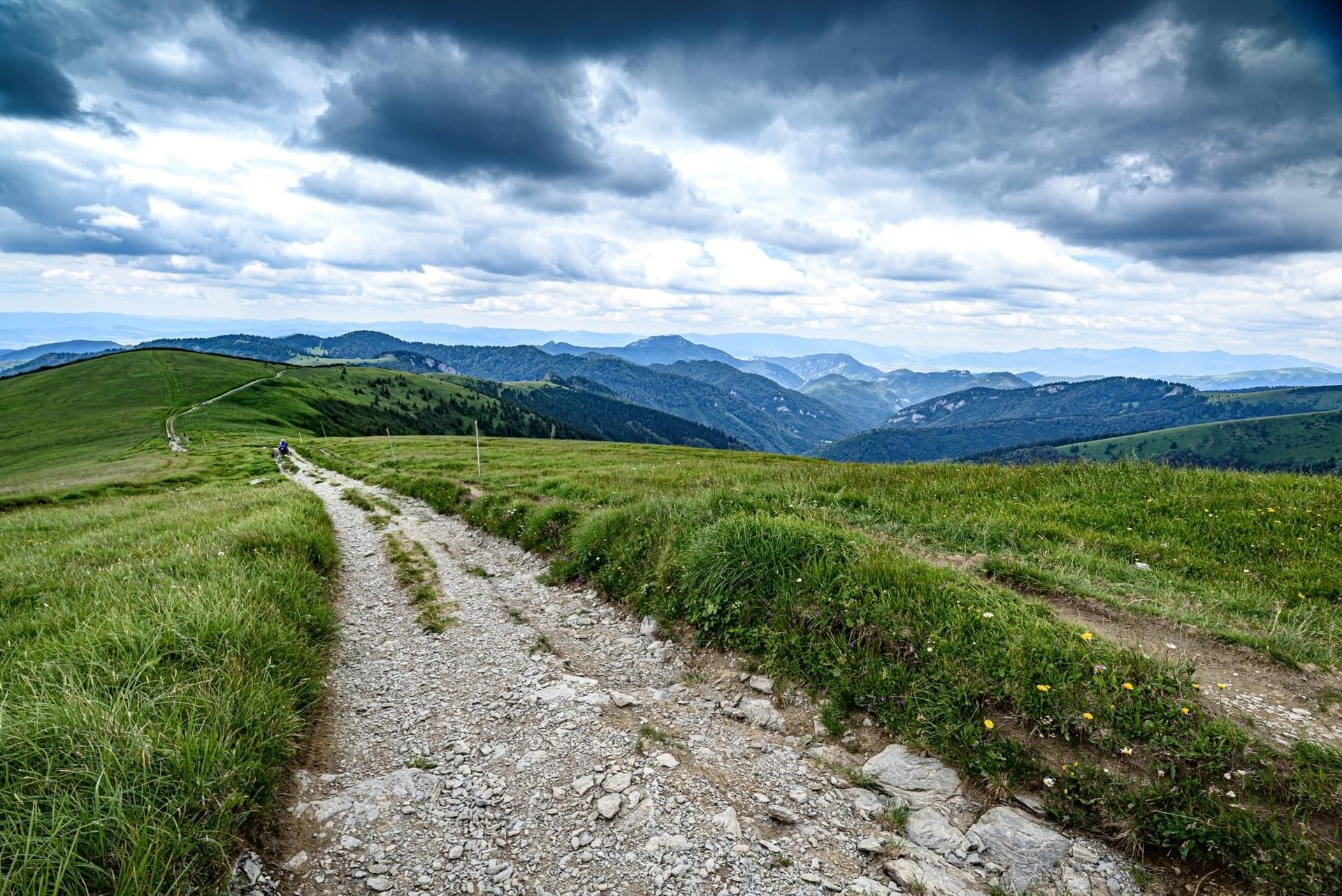
The traditional route of the race, which leads from the westernmost point in the Czech Republic, along the northern border of the Czech Republic and through the Slovak hinterland to the village of Nová Sedlica. The length of the route is about 1,600 km and the altitude is about 40,000 m. The direction changes every year, in even years it goes from east to west and in odd years the opposite.

There are normally 3 checkpoints (CP) on the route
- in the Jizera Mountains at the level of the village of Raspenava
- in Jeseníky near Františkov (approx. half of the race)
- on the banks of the river Váh near Trenčín
southern route
The new route of the race, which leads from Hranice in Bohemia, along the southern border of the Czech Republic and through the Slovak hinterland to the village of Nová Sedlica. The length of the route is approximately 1,600 km.
The direction changes every year, going from east to west in even years and vice versa in odd years.
